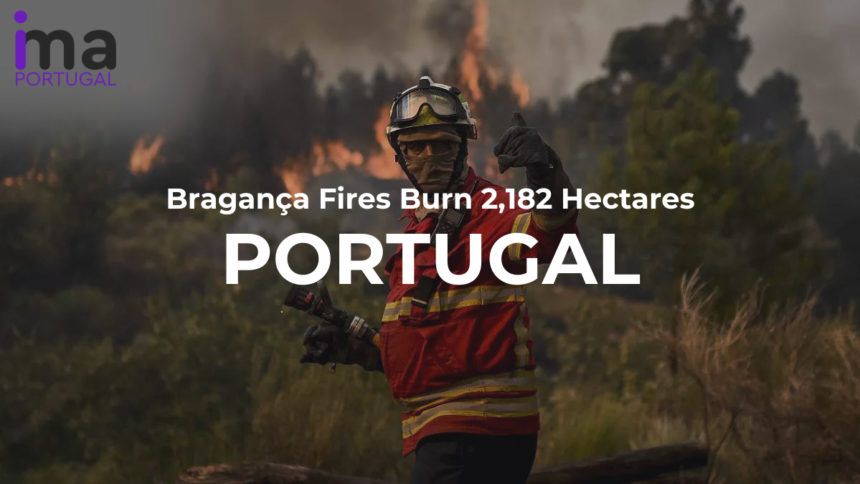
Recently, a fire broke out in the municipality of Vimioso on Saturday, August 10th, 2024. Today, the ANEPC (National Emergency and Civil Protection Authority) announced that this fire was the largest recorded since January. They further revealed that the Bragança fire burnt an area of 2,182 hectares of land.
The second-largest fire of the year also broke out on Saturday in Montesinho Natural Park (PNM). It affected the Soutelo and Carragosa. According to ANEPC, this fire has burned a provisional area of 490 hectares.
Operation Against Bragança Fires
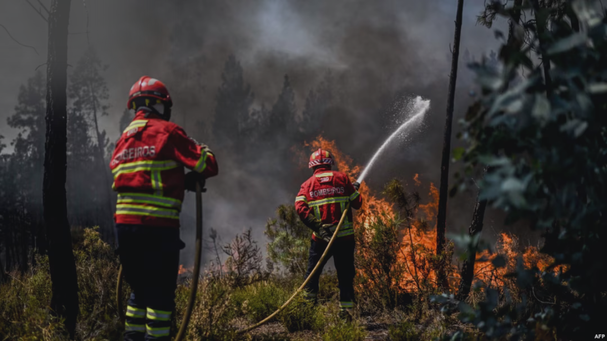
These two fires were the deadliest so far that occurred in the district of Bragança. In order to fight these 1,246 firefighters were in action. The reports suggest that 625 operatives were involved in the first fire that occurred in the União de Freguesias de Caçarelhos e Angueira, in Vimioso.
Read More About: Chaves Fire: Over 100 Firefighters and Aerial Support in Action
Moreover, they were backed by 207 vehicles, 11 tracked machines, and 17 Portuguese and Spanish air assets. The operation against the fire continued for three days. Despite the heavy operation, the fire spread to São Martinho de Angueira and Cicouro in Miranda do Douro.
This caused alarm in the border villages due to the intense flames and sudden wind changes. Later, the fire was considered under control early on Sunday. However, it later experienced a strong reignition.

João Noel Afonso, the Sub-Regional Commander of Emergency and Civil Protection for the Lands of Trás-os-Montes, stated that
The fire experienced a strong reignition and that front was fought with great intensity. This fire entered the surveillance phase at the end of Monday.
He further revealed that the PNM fire involved 621 operators, 217 vehicles, four tracked machines, and 12 aerial vehicles. João further said that one of the main challenges in fighting this fire was its location. The fire was embedded in a deep cliff which limited access for firefighting efforts.
An official source from the Guarda Nacional Republicana said that all current information is provisional. He explained that the burnt area needs to be categorized into forest, agricultural, and scrubland. It is expected that the official data on these fires in Northeast Trás-os-Montes will be available by the end of the week.


